The Upper Missouri River Breaks or 'Badlands' - Sample Itinerary and Video
Scroll down for sample itinerary
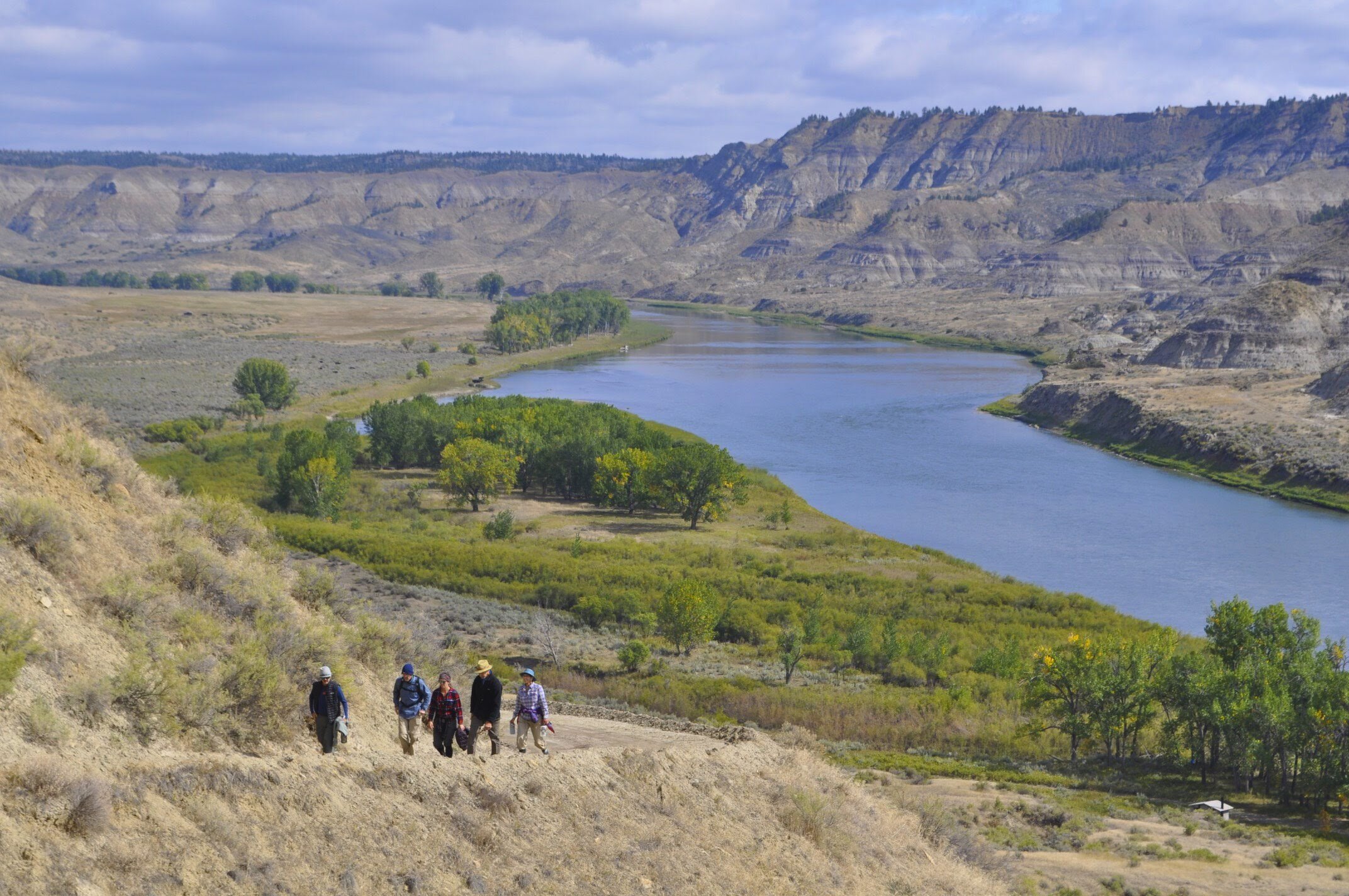
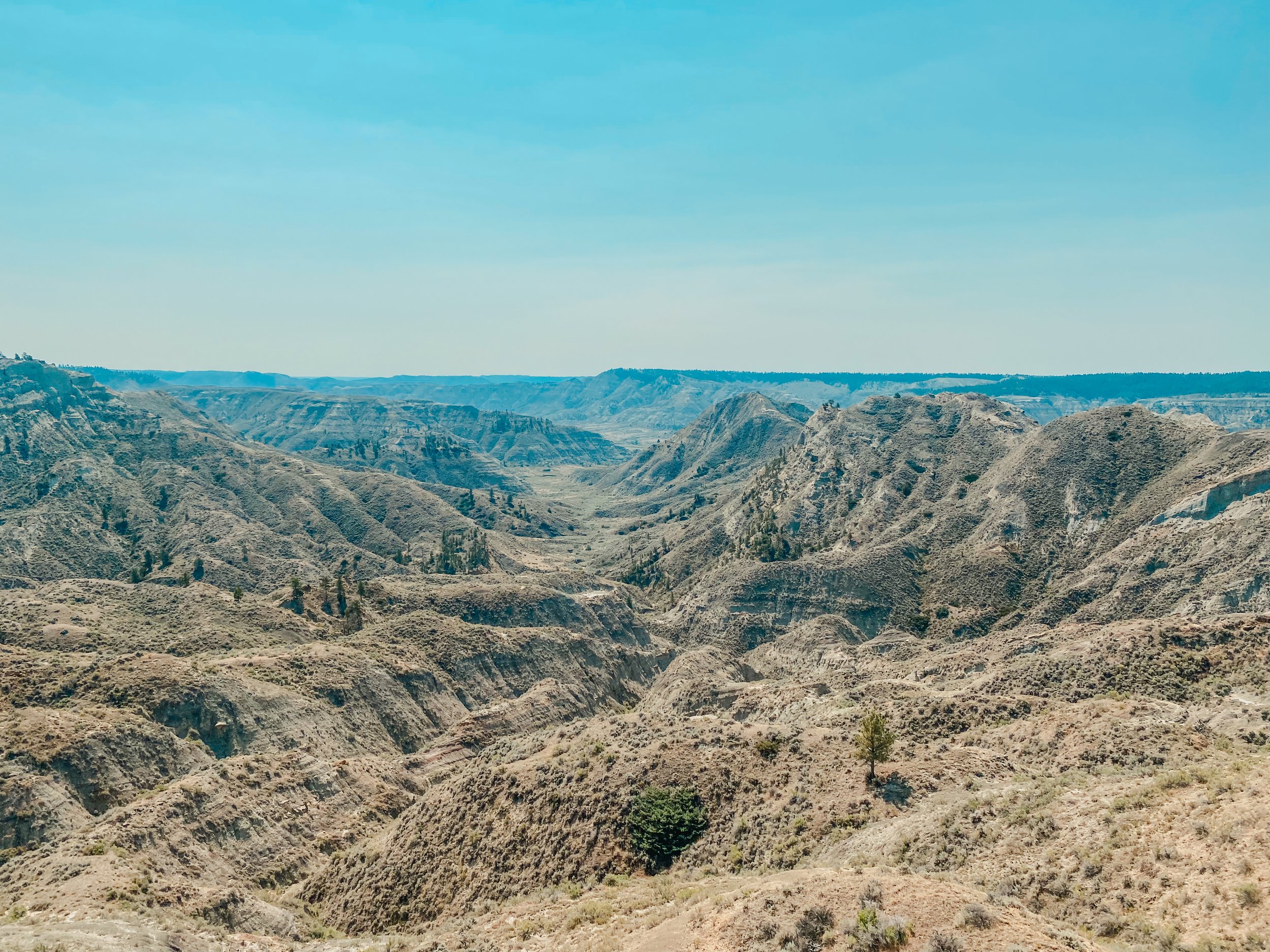
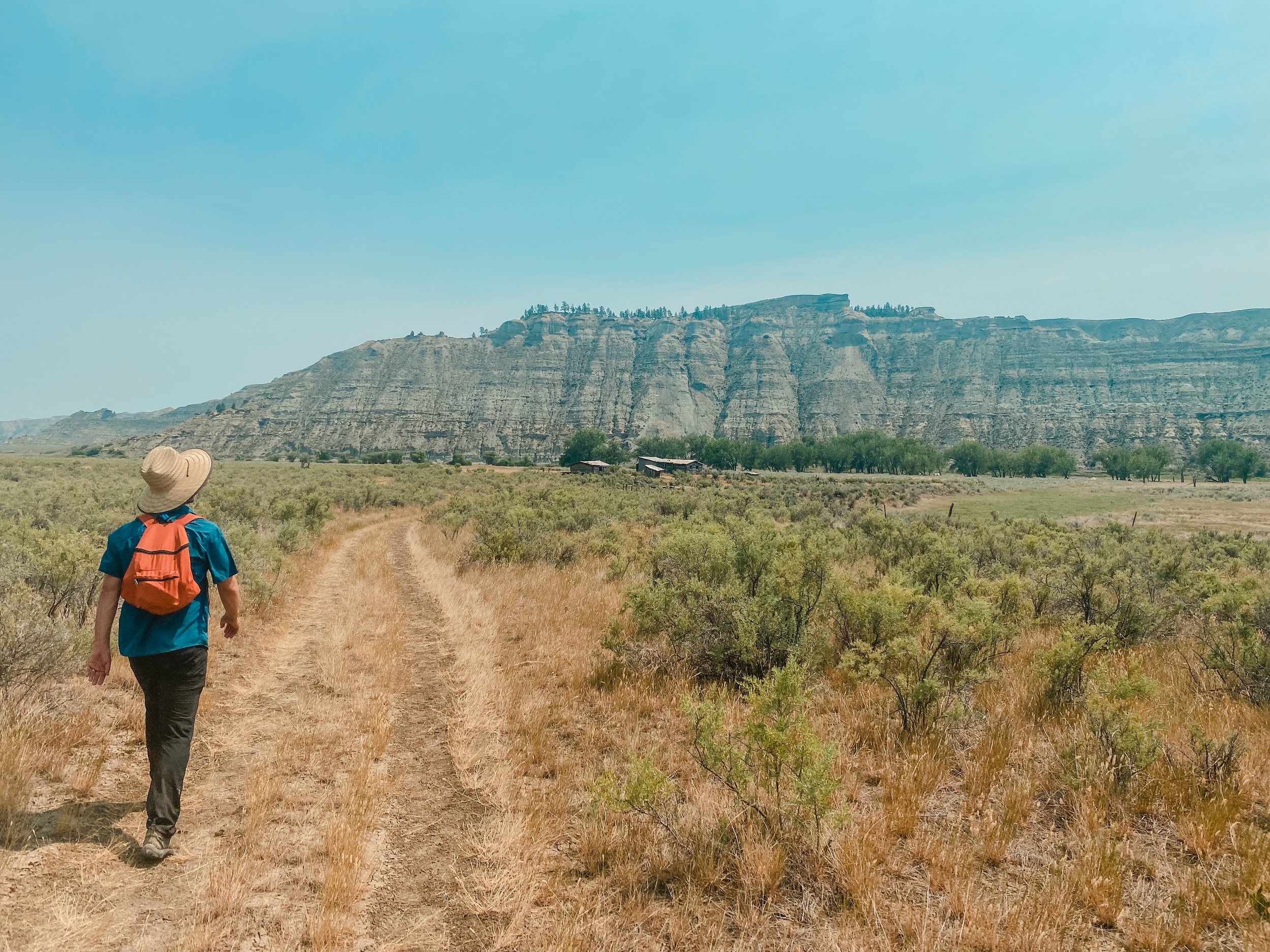
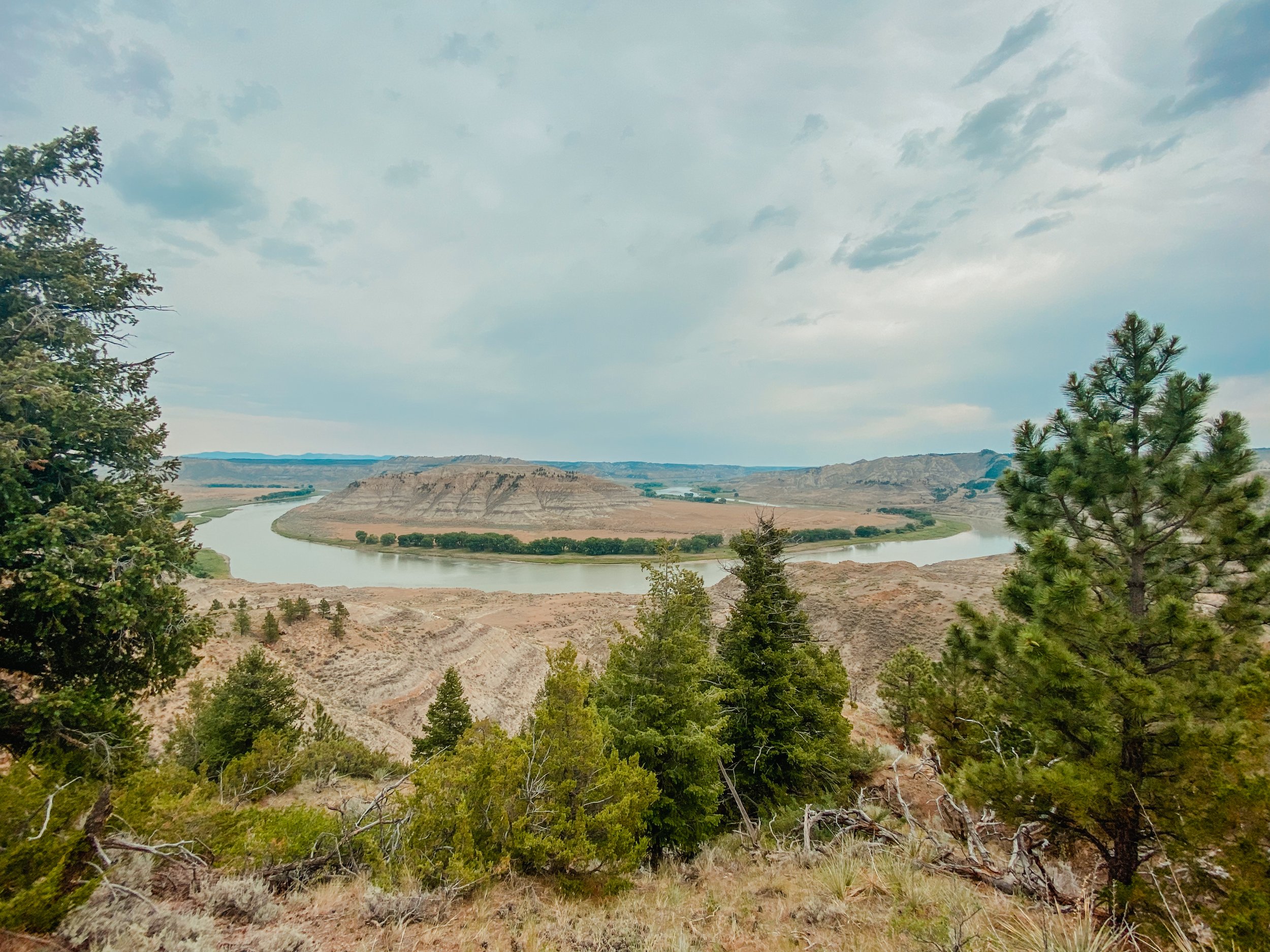
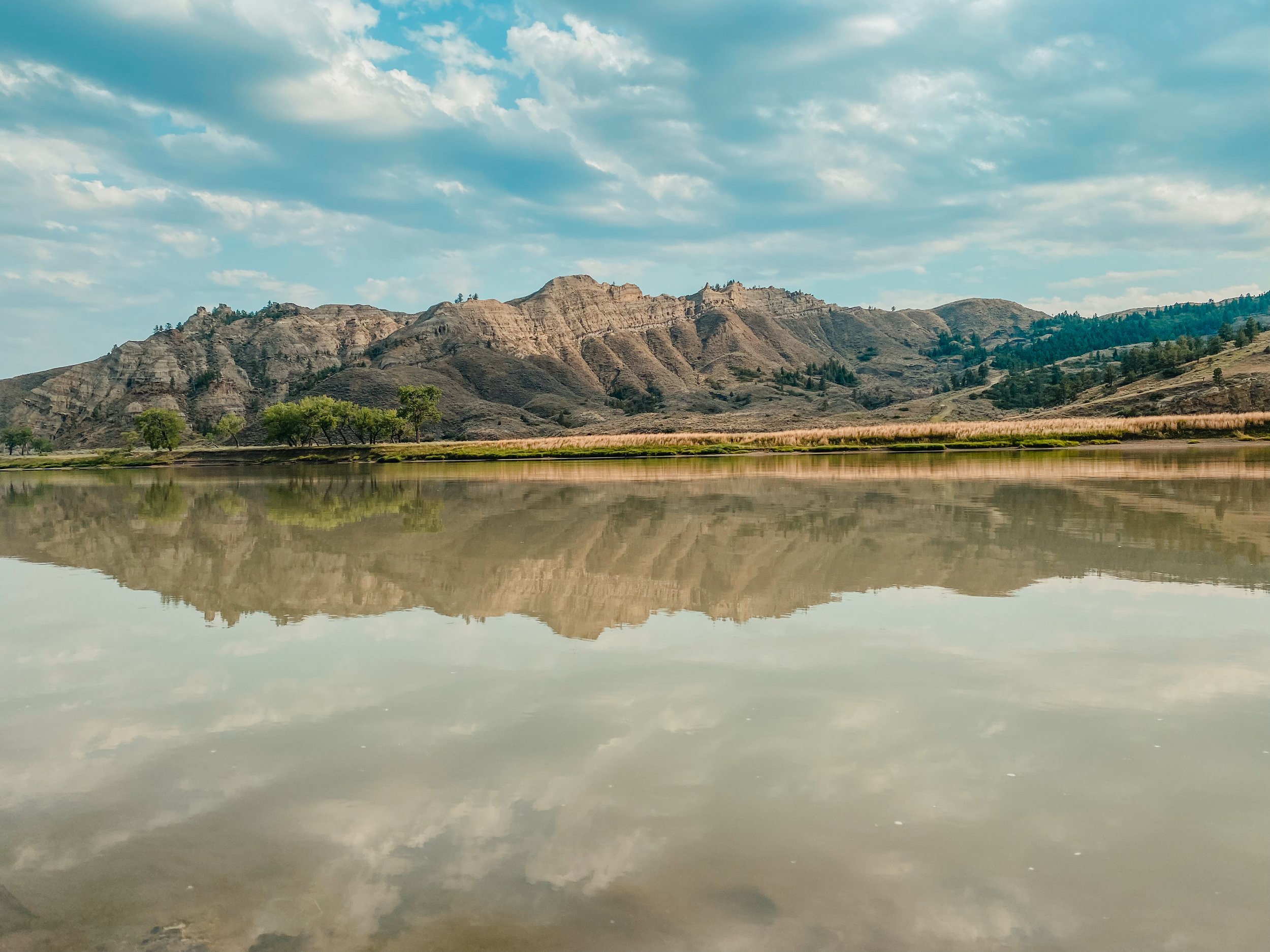
The river corridor within Upper Missouri River Breaks National Monument spans 149 river miles of rugged, magnificent and wild prairie landscape containing one of the most powerful, encompassing and historically significant rivers in our country. The monument has three main ‘sections’ divided by the major access points. The last section, river miles 88.5 to 149 or Judith Landing to James Kipp Recreation Area, is generally referred to as the “Breaks'“ or “Badlands” of the Upper Missouri River. Although not as famous as the White Cliffs (just above, river mile 42-88.5), most guides and folks who have done both sections will report that the Badlands are their favorite. The two sections are wildly different in geology, topography, hikes, sites and wildlife. The Badlands are generally less travelled and have only one developed campsite. There are several in-tact homesteads to explore, bighorn sheep to hopefully spot and vast, towering landscape surrounding you. The ‘Breaks’ refers to how the land appears from above - it appears as though the braided, twisted and numerous drainages leading down to the river have broken the landscape. One can always feel a slight or major change when you push off from Judith Landing and head downriver into the marvelous Badlands.
Already interested in joining a guided trip this summer?! Please click the link below for our schedule and more information about our guide service.
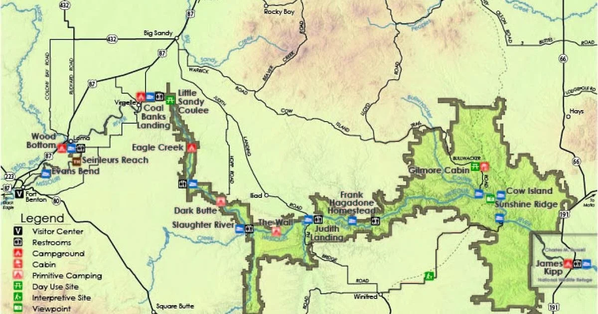
Image courtesy of BLM.gov
National Monument Boundaries
As you can see from this map of the Upper Missouri River Breaks Monument, the boundaries of the monument expand significantly a few miles past Judith Landing. Again, this change can be felt as you float down the river - you really, truly feel like you are out there, deep in a river canyon and finally experiencing a very WILD place indeed. Hiking to the rim of the river corridor proves this - the view out is one of a vast, rugged prairie with no human activity in sight. It is breathtaking and humbling to say the least.
Would you like to see photos of the Badlands from a plane? Yes, they are amazing!
Wild & Scenic Designation - Explained
The Upper Missouri River Breaks National Monument is designated a National Wild and Scenic River. Did you know there are actually three separate classifications within this designation and they have very different meanings?
Recreational: sections that are readily accessible by road and may have some development on the shorelines. These sections are river mile (RM) 0 to 52 and 84.5 to 92.5.
Scenic: sections with shorelines or watersheds still largely primitive and undeveloped but accessible in places by roads. RM 99 to 104 and 128.5 to 149 (26 miles total).
Wild: sections that are generally inaccessible except by trail or river with watersheds and shorelines essentially primitive. These sections include most of the Badlands — RM 52 to 84.5, 92.5 to 99.5 and 104.5 to 128.5 (64 miles total).
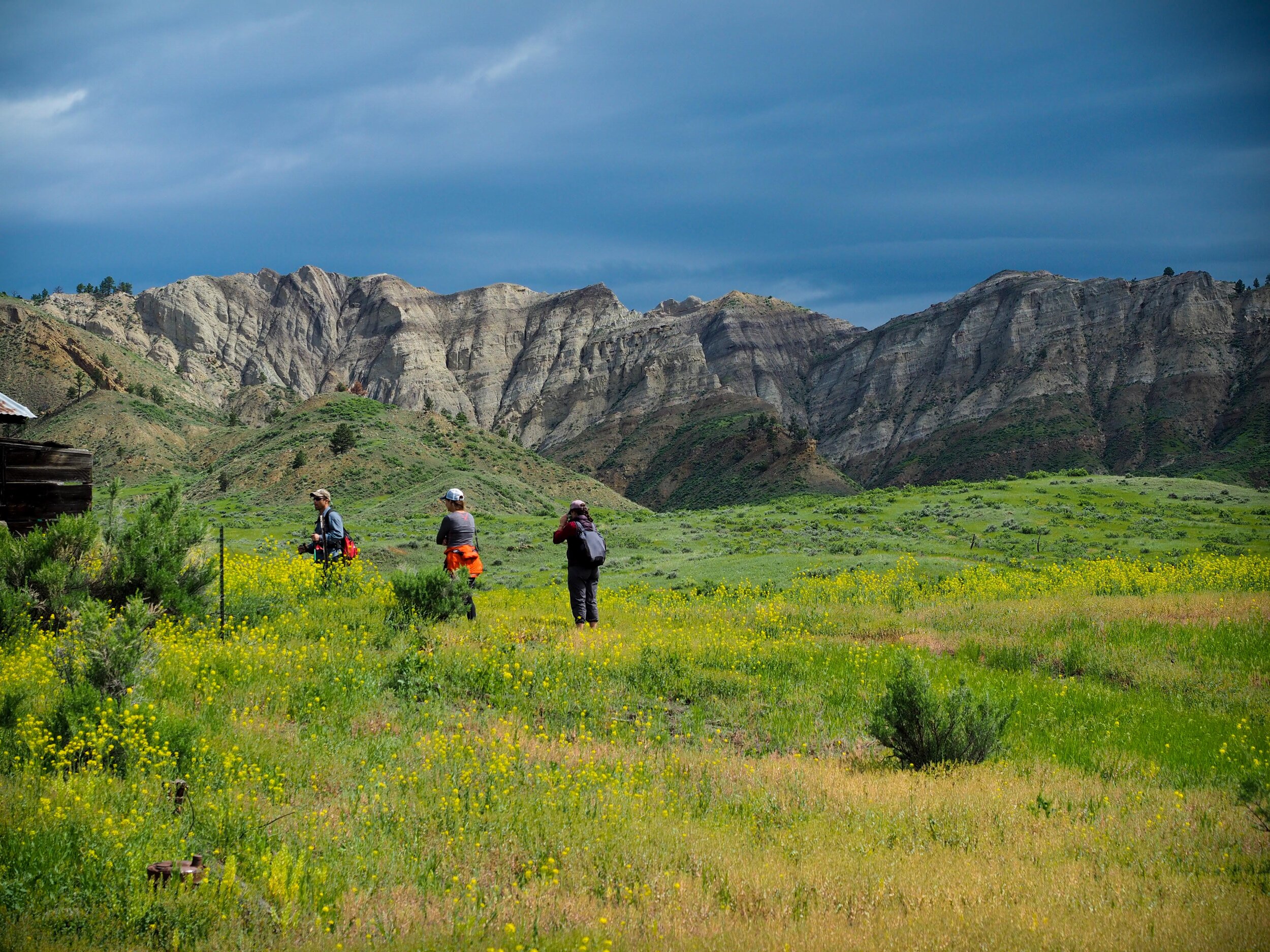
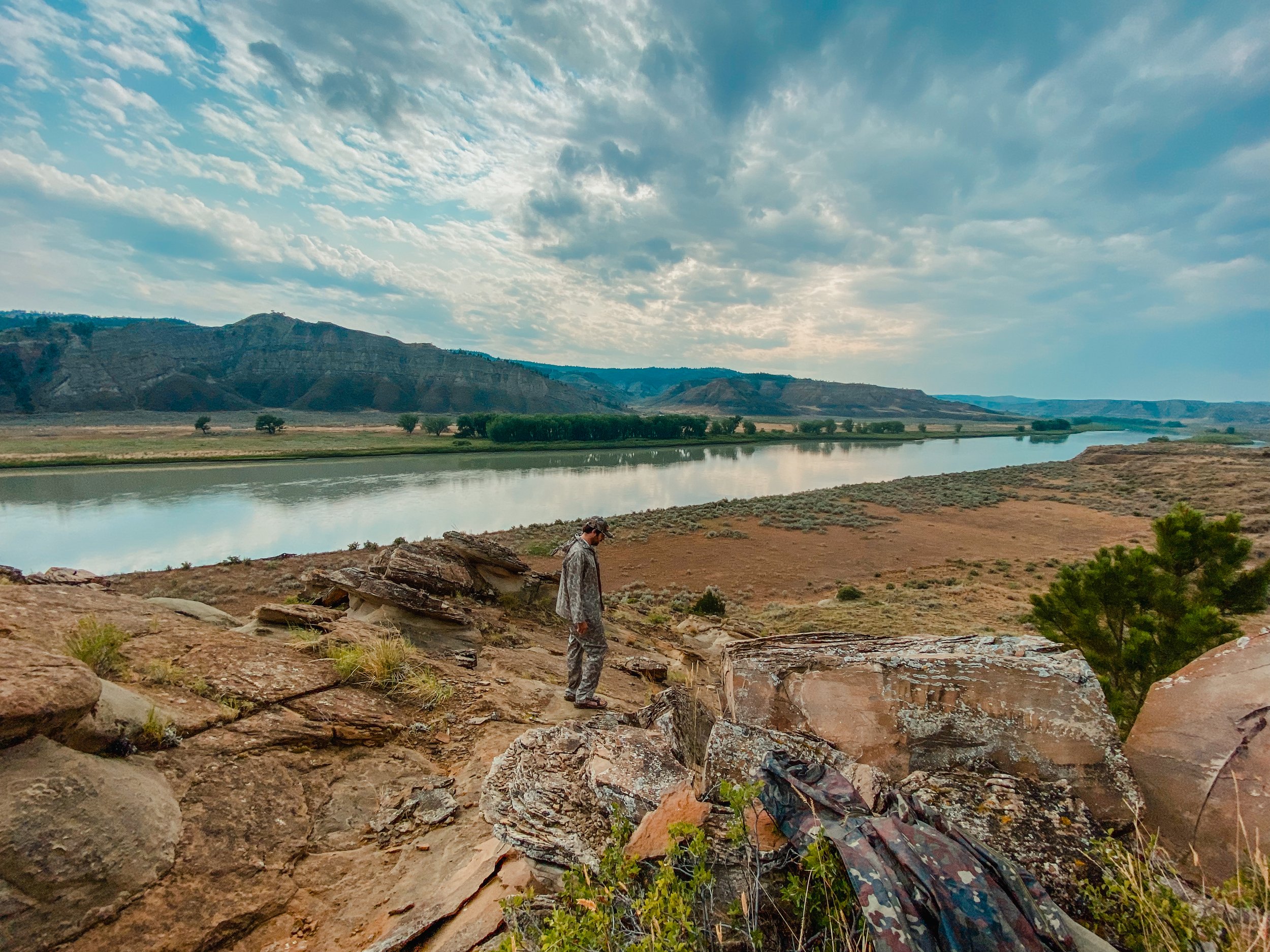
Hiking throughout the Badlands of the Upper Missouri River.
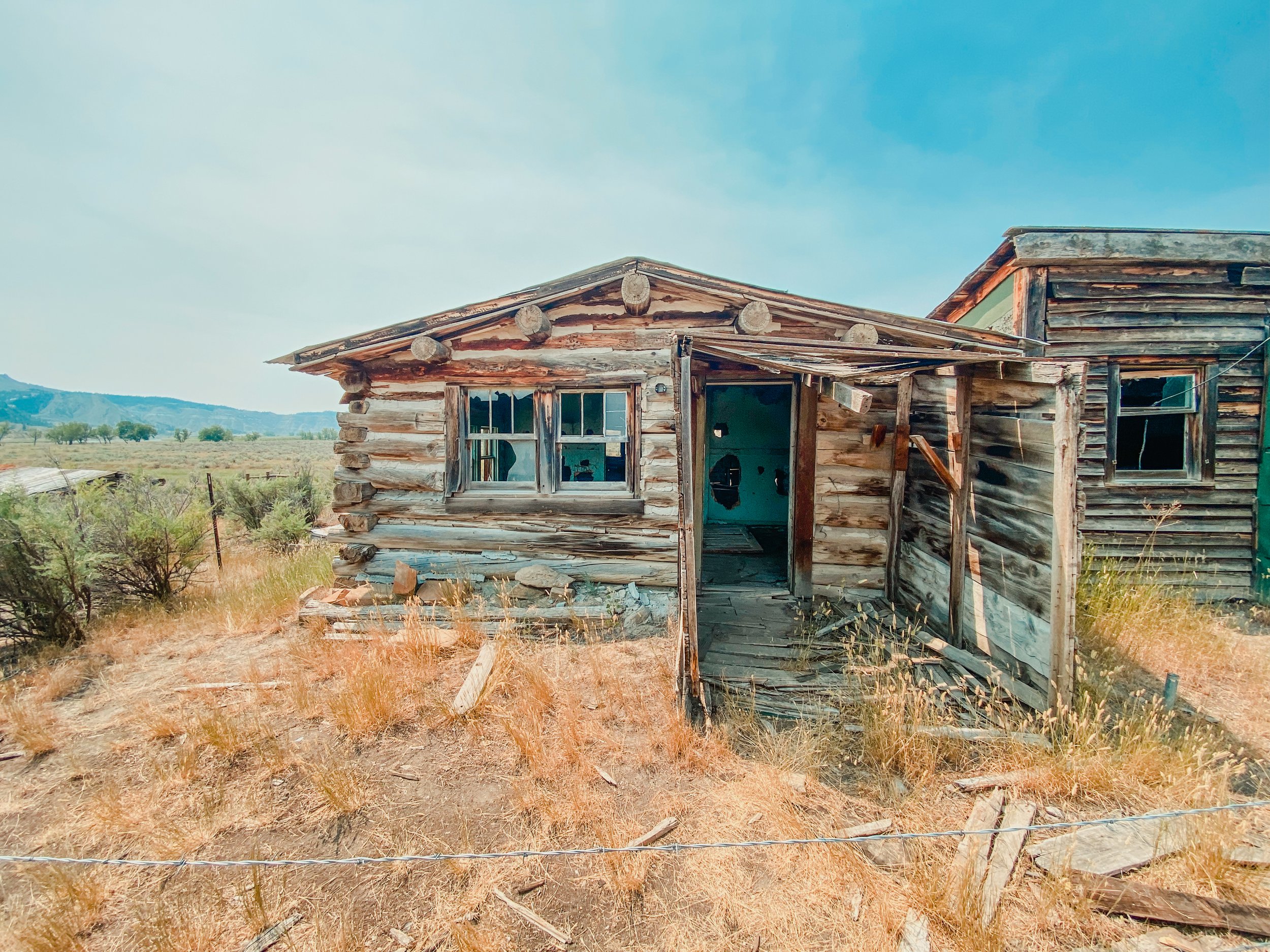
The exploration opportunities are virtually endless in the this section. There are certainly well-travelled trails or routes, but if you are more of a ‘get out of the boat and walk’ kind of person, then do just that assuming you are on public property. Every drainage presents on-the-beaten path hiking and viewpoints. Or, if you are not a huge hiker, definitely take advantage of the short jaunts to explore the homesteads and other points of interest closer to the shore.
Sample Itinerary: Badlands of the Upper Missouri River, River mile 88.5-149
Judith Landing to James Kipp Recreation Area
We base our itinerary on several factors including but not limited to: other river traffic, weather, the group, nesting eagle (yes, you are not allowed to camp within 1/4 mile of a nesting pair until the fledglings are old enough to fly), and more. Thus, the itinerary below is rough and open for spontaneity :-)
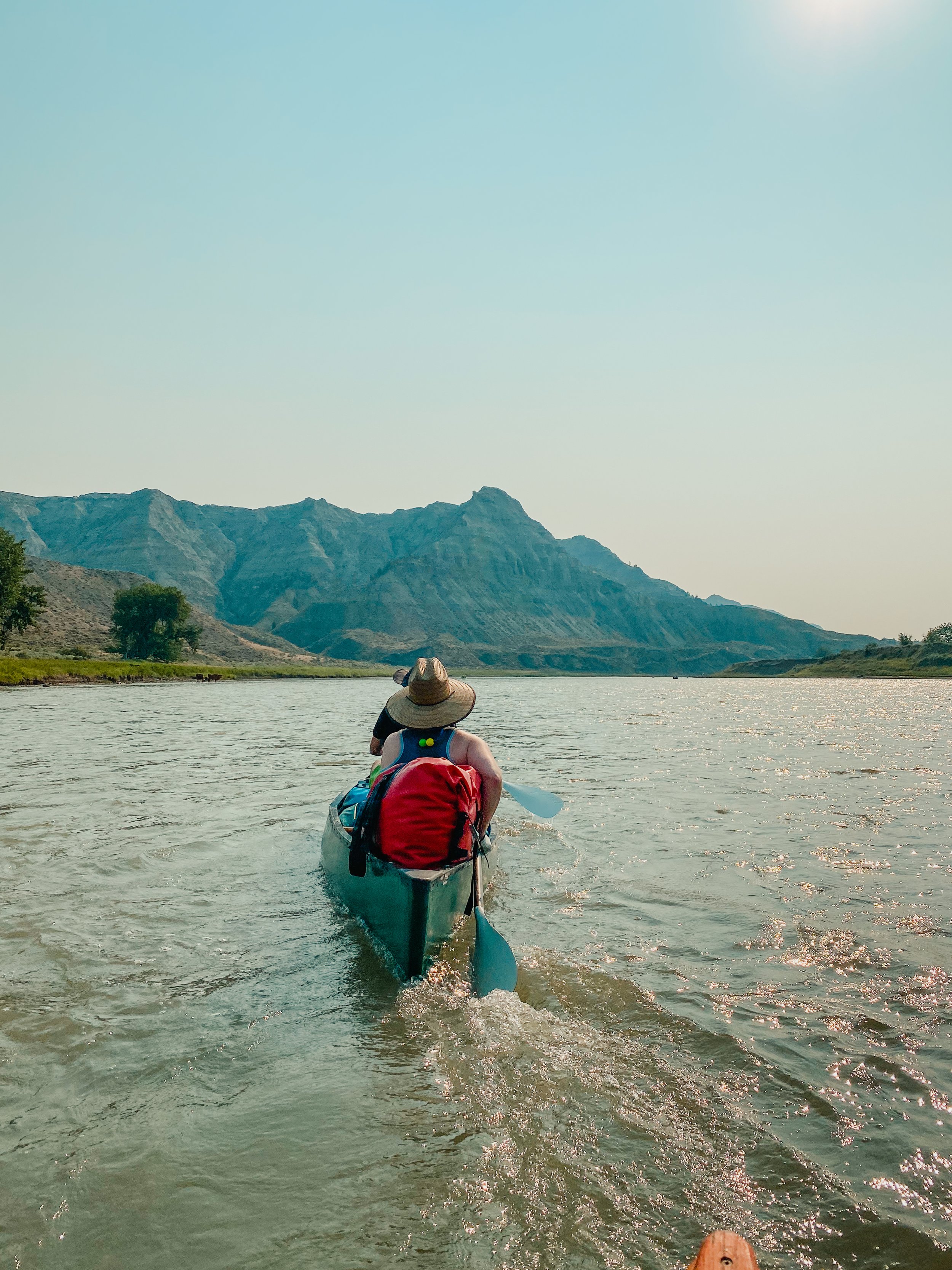
We usually complete the roughly 61 miles of the Badlands in either 4 or 5 days. You can start the trip by first floating the White Cliffs, resupplying at Judith Landing and continuing on, or you can start at Judith Landing.
Day 1
10:00ish - 12:00ish – arrive at Judith Landing, unload gear, load boats, perhaps eat lunch and shove off!
Stop – Murry dug out, RM 90.8
CAMP – McKeever Rapids, RM 96
Afternoon hike: Hagadone Homestead or float down and walk back
5:00ish – hors d'oeuvres & cocktails
6:30ish – dinner, dessert, fire, etc
Alternative options:
Continue past McKeever Rapids, stop at Hagadone Homestead, camp at a dispersed site along the way, Connie’s Bottom (RM 100.5), Stafford Ferry (RM 101.8) or McGarry Bar (RM 103.3)
Day 2
7:00am – coffee, start packing
8:00 – breakfast
9-9:30 – be on water
Optional stop & hike – Hagadone Homestead if you didn’t do it night before, McGarry Bar – Lewis and Clark campsite May 27, 1805
12:00 - 1:00 - LUNCH – Greasewood Bottom (RM 109.6) or another dispersed, shady spot along the river
2:00 - 4:30ish - stops and potty breaks along the way
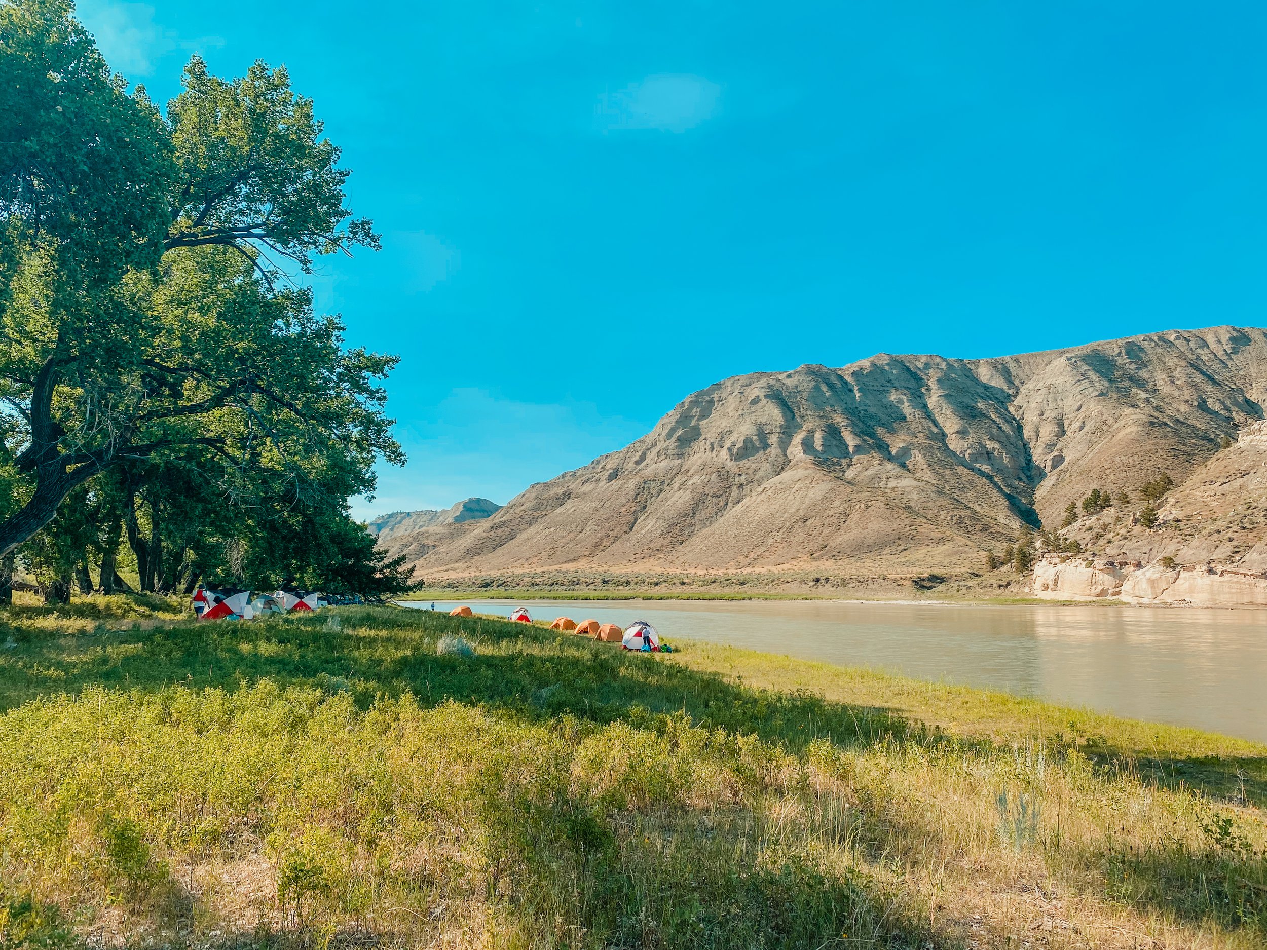
4:30ish - CAMP – Gist Bottom/Bullwacker Creek (RM 122.6)
4:00-5:00 - hors d'oeuvres & cocktails
6:30ish – dinner, dessert, fire, etc
Exploration options – John Irwin Cabin, Gist Homestead
Day 3 - Layover Day (if you are spending 5 days in the Badlands. If you opted for only 4 days, skip this day)
7:00am – lazily drink coffee and DON’T pack up anything :-)
8:00 – breakfast, prepare for a hike for those who are interested
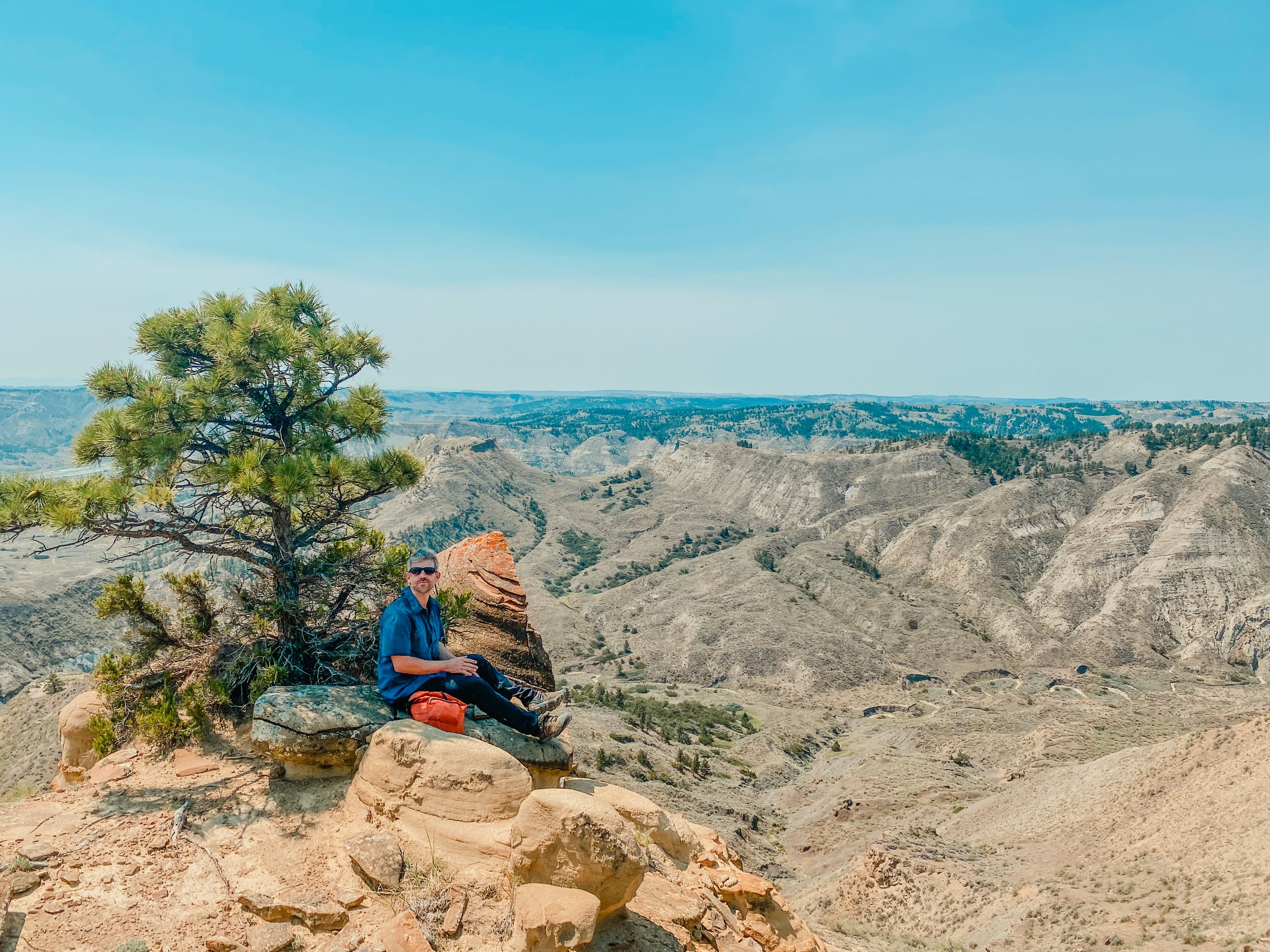
BIG HIKE – Clark’s viewpoint or somewhere in between (we have found some really, really neat loop hikes that are roughly 6-7 miles and absolutely stunning)
Lunch on hike with snacks
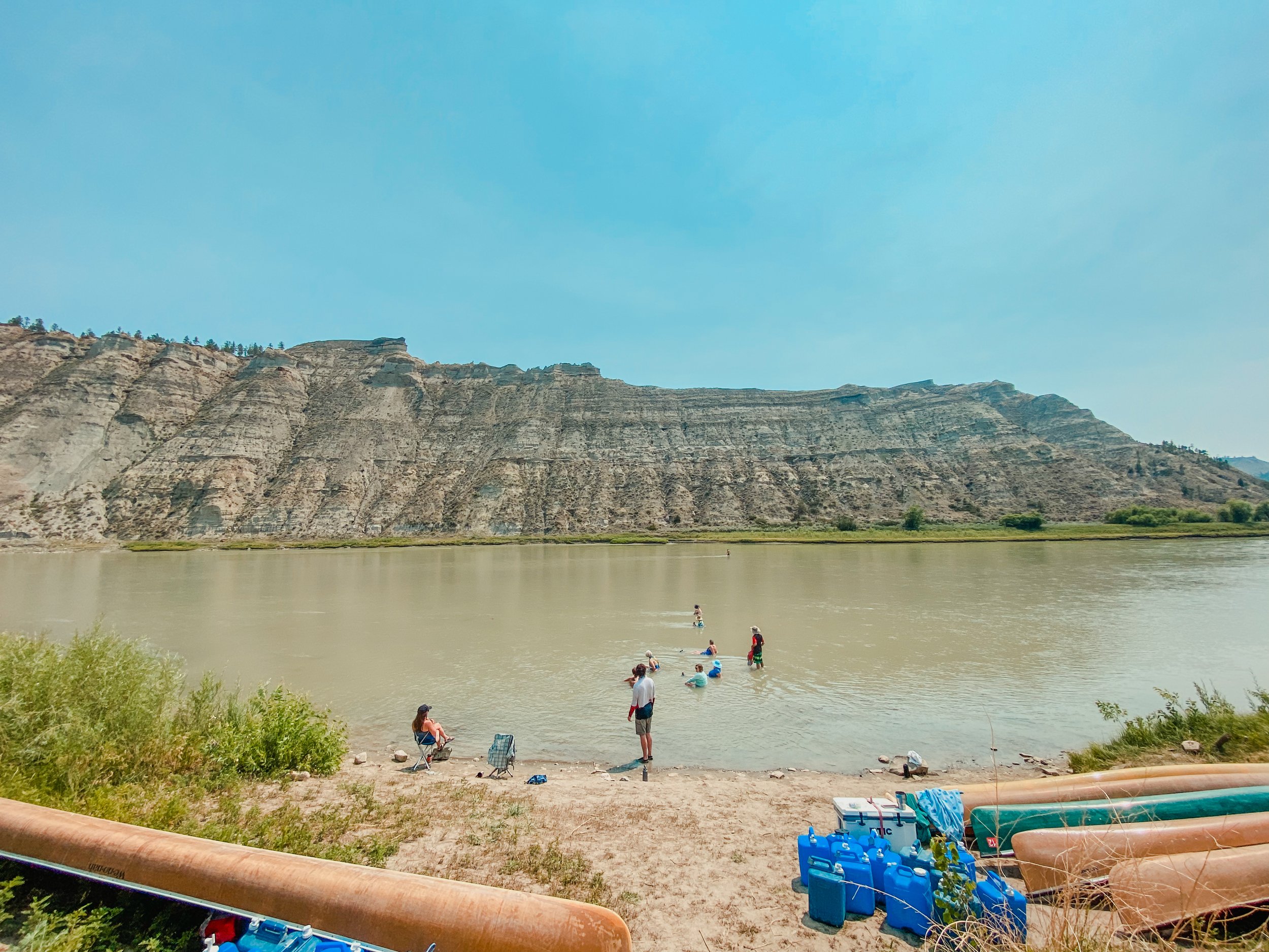
Afternoon/evening – swim, enjoy the quite, nap, river spa day, games, early cocktail hour, etc.
4:00-5:00 - hors d'oeuvres
6:30ish – dinner, dessert, fire, etc
Day 3 or 4
7:00am – coffee
7:30 – start packing
8:00 – breakfast
9-9:30 – be on water
Optional stop & hike – Gist Homestead if you didn’t already check it out
11:00-1:00pm - HIKE & LUNCH – Woodhawk Bottom (RM 131.2)
2:00 – be on water
3:00-3:30 - CAMP – Hideaway Coulee RM (136.7) or another dispersed campsite. From the campsite, there are options to hike back towards the hills to look for dinosaur bones and other interesting fossils. It is also one of the healthiest groves of trees on the river, and thus is a spectacular birding spot early in the morning
4:00-5:00 - hors d'oeuvres
6:30ish – dinner, dessert, fire, etc
Day 4 or 5
7:00am – coffee, start packing
8:00 – breakfast
9:00-9:30 – be on water
10:00ish – stop somewhere for potty break
12:00 – arrive at James Kipp Recreation Area, pack up the vans, say our goodbyes to the river and start the 3 hour drive back to Fort Benton. It doesn’t take long before everyone is napping :-)
Major Points of Interest Along the Way:
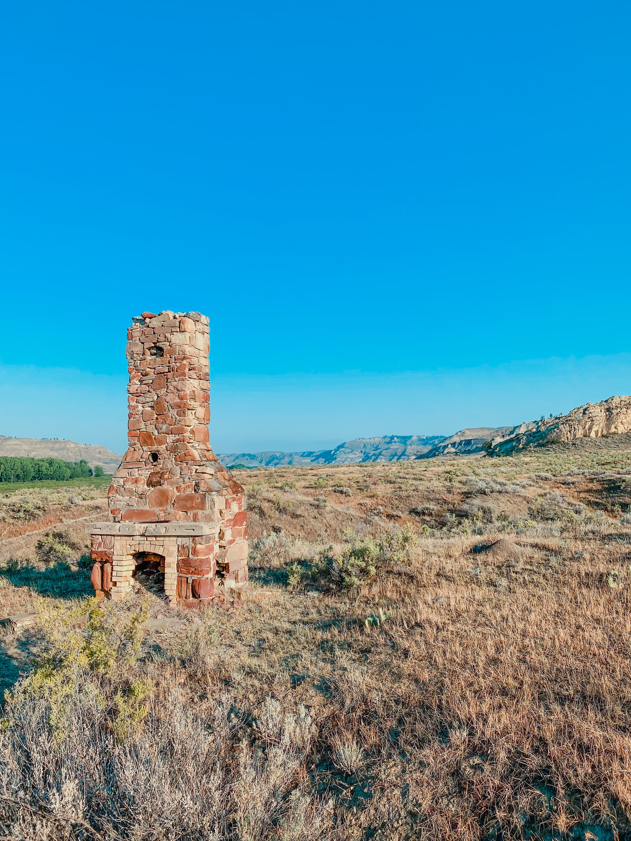
Murry Dugout, Hagadone Homestead, Dauphin Rapids, Stafford Ferry, McGary Bar (Lewis and Clark campsite), Chimney Bend, Cabin Rapids homestead, John Ervin Homestead, Gist Bottom Homestead, Clark’s Viewpoint Hike or another loop hike near Gist Bottom, Cow Creek, Cow Islands, Fort Igles Rifle Pits, James Kipp Homestead, Nez Perce Nee Mee Poo Trail, Wookhawk Bottom & viewpoint hike, Power Plant, Loomis Homestead, Hideaway Coulee and the Hideaway Gang, Charles M Russell Wildlife Refuge, Grand Island and so much more.
Would you like to learn more, study the river maps and take a deep dive into the history of this region mile-by-mile? Consider purchasing our history digest accompanied by the BLM river maps. The history digest is a phenomenal history companion that will enrich your floating experience.